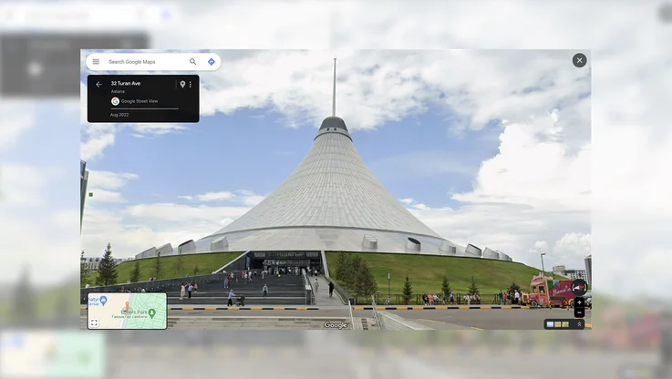
Explore Everest, Kilimanjaro and more with Google Maps
Most of us have a bucket list of the places we want to visit in our lifetime. If you’re like me, the list is pretty long—to be honest I’d be lucky to get to all of mine. Google Maps has a bucket list too, and today we’re checking off a couple of our favorites so we can make our map more comprehensive and share it with you. And if tall mountains are your thing, you’re in luck.
Now you can explore some of the most famous mountains on Earth, including Aconcagua (South America), Kilimanjaro (Africa), Mount Elbrus (Europe) and Everest Base Camp (Asia) on Google Maps. These mountains belong to the group of peaks known as the Seven Summits—the highest mountain on each of the seven continents. While there’s nothing quite like standing on the mountain, with Google Maps you can instantly transport yourself to the top of these peaks and enjoy the sights without all of the avalanches, rock slides, crevasses, and dangers from altitude and weather that mountaineers face.
Start your adventure on Tanzania’s Mount Kilimanjaro, the dormant volcano known as the Roof of Africa. See amazing views of the highest freestanding mountain in the world covered in snow just three degrees south of the equator.
Next, travel to the tallest mountain in Europe, Russia’s Mount Elbrus, and see huts made from Soviet-era fuel barrels. Climbers have to take refuge in the huts built on the mountain when the weather turns wretched.
Explore Argentina’s mighty Aconcagua, the highest peak in both the Western and Southern Hemispheres. See how a base camp is set up amongst the exposed rock in Plaza Argentina and how expeditions eat, camp and prepare for their ascent.
Finally, make your way to Everest Base Camp, where expeditions stage their attempts to reach the top of the world. Along the ascent, steal glimpses of the snow-capped Himalayan mountain peaks and the awesome Khumbu glacier.
This imagery was collected with a simple lightweight tripod and digital camera with a fisheye lens—equipment typically used for our Business Photos program. See the slideshow and our Lat Long Blog for a behind-the-scenes look at the regular Googlers that actually climbed these mountains to capture this stunning photography.
Whether you’re scoping out the mountain for your next big adventure or exploring it from the comfort and warmth of your home, we hope you enjoy these views from the top of the world. See more of our favorite shots on the Street View Gallery. We’ll also be hosting a Hangout on Air today at 10:00 am PT where we’ll share stories from our expeditions and answer questions about this special collection.